Data
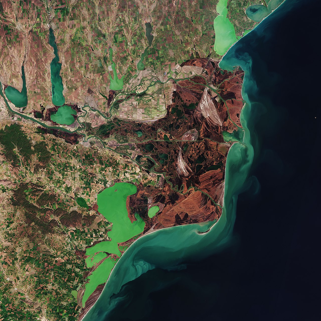
The spatial range of data in the Danube Delta is 43°N-45°N, 28°E-31°E, which provides the downloading of hydrological data, land cover data, vegetation data, climate data and socio-economic data. The data provided are mainly used for research and related activities.If you have any questions, please contact us.
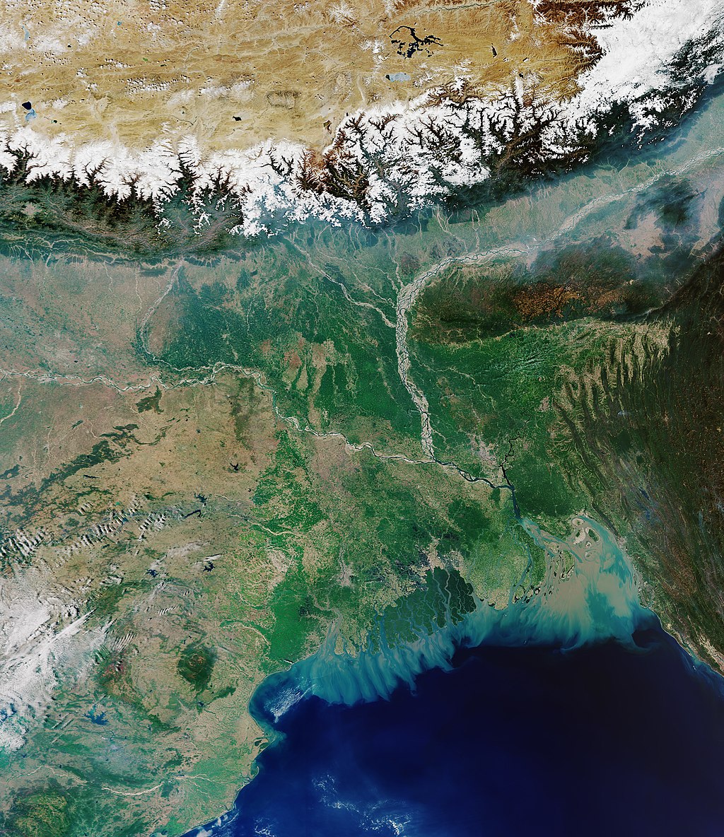
The spatial range of data in the Ganges-Brahmaputra Delta is 20°N-28°N, 86°E-94°E, which provides the downloading of hydrological data, land cover data, vegetation data, climate data and socio-economic data. The data provided are mainly used for research and related activities.If you have any questions, please contact us.
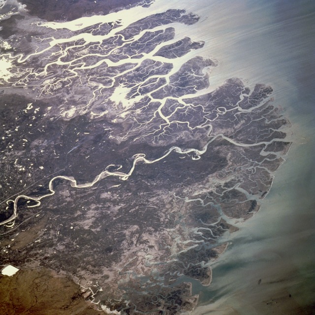
The spatial range of data in the Indus river Delta is 22°N-29°N, 66°E-71°E, which provides the downloading of hydrological data, land cover data, vegetation data, climate data and socio-economic data. The data provided are mainly used for research and related activities.If you have any questions, please contact us.
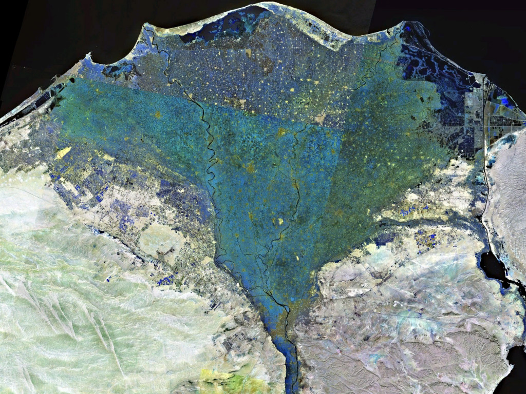
The spatial range of data in the Nile Delta is 29°N-32°N, 29°E-33°E, which provides the downloading of hydrological data, land cover data, vegetation data, climate data and socio-economic data. The data provided are mainly used for research and related activities.If you have any questions, please contact us.