Nile Delta
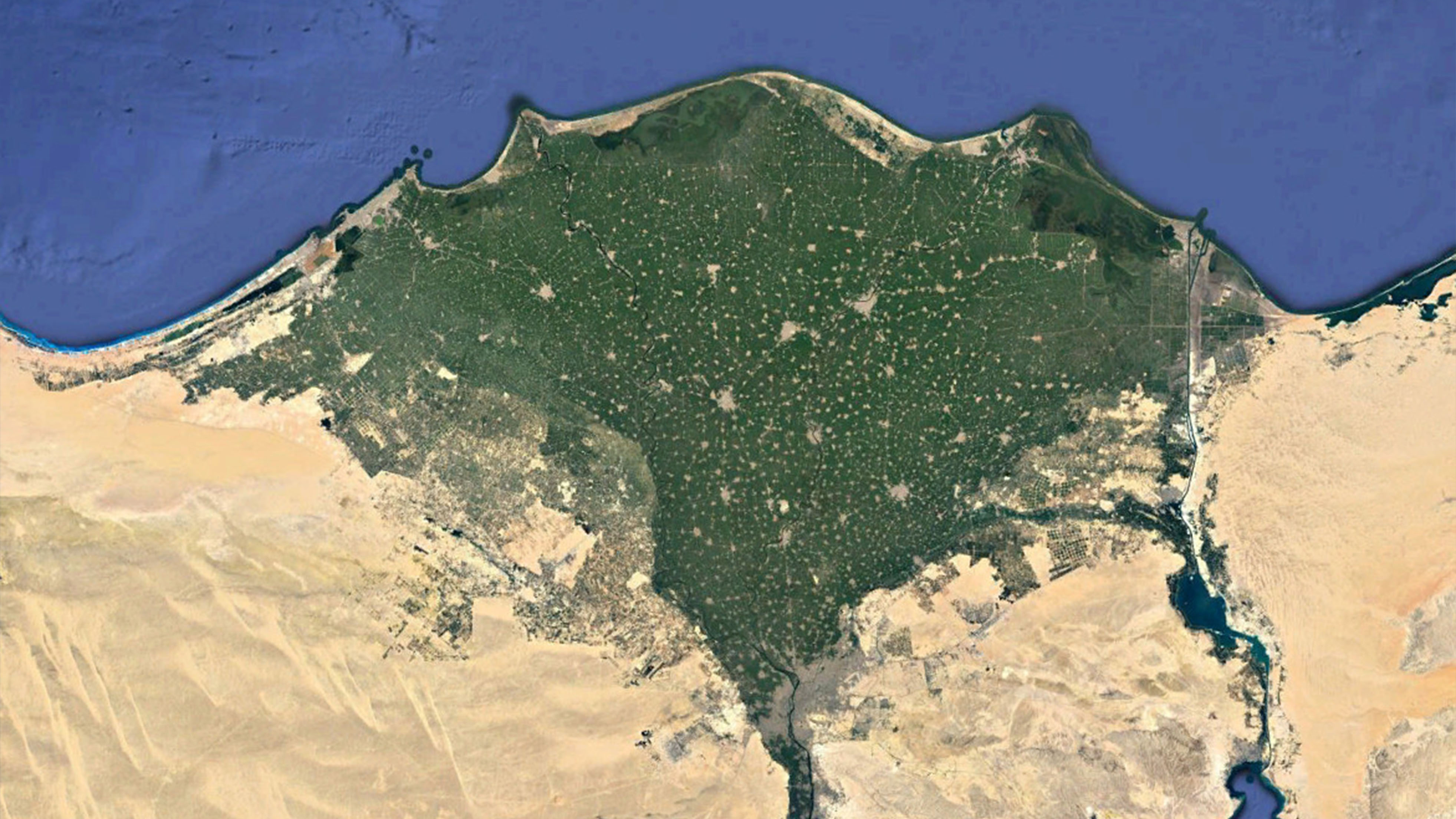
The Nile Delta is formed in the Lower Egypt where the Nile River spreads out and drains into the Mediterranean Sea. It is one of the world's largest river deltas—from Alexandria in the west to Port Said in the east. It covers 240 km of Mediterranean Sea coastline and is a rich agricultural region. The Delta begins slightly down-river from Cairo.From north to south, the delta is approximately 160 km in length. From west to east, it covers some 240 km of coastline.
The delta is divided into sections, with the Nile dividing into two main distributaries, the Damietta and the Rosetta, flowing into the Mediterranean Sea at port cities with the same name. In the past, the delta had several distributaries, but these have been lost due to flood control, silting and changing relief. One such defunct distributary is Wadi Tumilat. The Delta has a hot desert climate as the rest of Egypt, but its northernmost part, as is the case with the rest of the northern coast of Egypt which is the wettest region in the country, has relatively moderate temperatures, with highs usually not surpassing 31 °C (88 °F) in the summer. Only 100–200 mm of rain falls on the delta area during an average year, and most of this falls in the winter months. In the areas where no irrigation is practiced, different zones of plant life may be roughly divided according to the amount of rainfall. Tropical rainforest is found along the Nile–Congo divide, in parts of the Lake Plateau, and in southwestern Ethiopia. Heat and copious rainfall produce thick forests with a great variety of tropical trees and plants, including ebony, banana, rubber, bamboo, and coffee shrub. Mixed woodland and grassland (savanna), characterized by a sparse growth of thinly foliaged trees of medium height and a ground covering of grass and perennial herbs, occurs in large parts of the Lake Plateau, in parts of the Ethiopian Plateau, in the area that fringes the Blue Nile near Al-Ruṣayriṣ, and in the southern Al-Ghazāl River region.